


Boucle Chazeau, Cap 21

Lamartiniere
User GUIDE
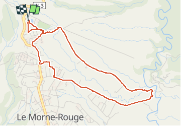

Length
7.4 km

Max alt
533 m

Uphill gradient
202 m
Km-Effort
10.1 km

Min alt
328 m

Downhill gradient
202 m
Boucle
Yes
Creation date :
2022-07-11 14:13:31.622
Updated on :
2022-07-11 17:23:57.783
3h09
Difficulty : Medium

FREE GPS app for hiking
 SityTrail
IGN / Geographical institutes
SityTrail Plus
The world is yours!
About
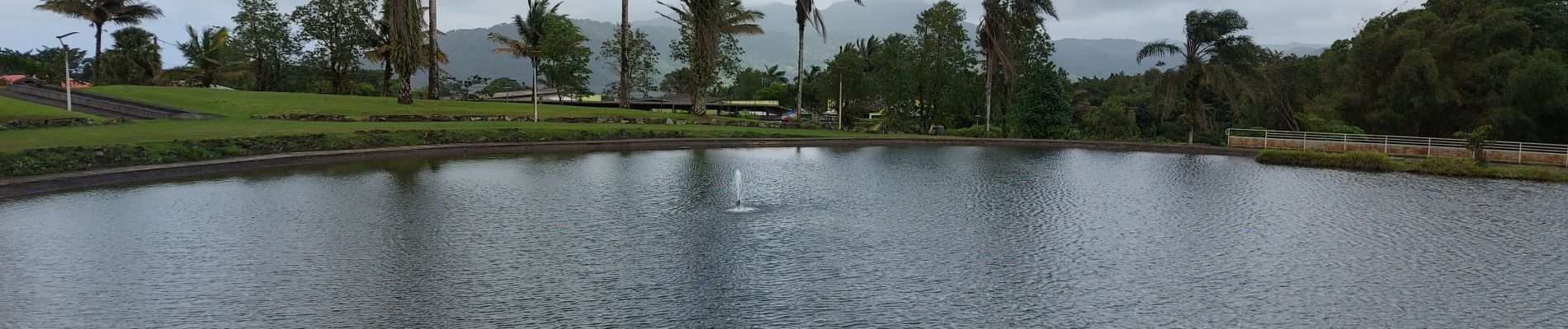
Trail Walking of 7.4 km to be discovered at Martinique, Unknown, Le Morne-Rouge. This trail is proposed by Lamartiniere.
Photos

Positioning
Country:
France
Region :
Martinique
Department/Province :
Unknown
Municipality :
Le Morne-Rouge
Location:
Unknown
Start:(Dec)
Start:(UTM)
700351 ; 1635930 (20P) N.
Comments